
| Town
Branch Neighborhood |
|
| News & Views Archives |
|
| Outdoor Recreation |
|
| Language Lane | |
| Louisiana
Tech University |
|
| University of Arkansas |
|
| Photo Albums | |
| Resource Links |
|
| About Us / Our Friends / Family |
|
|
Posted March 14, 2005
|
||||
|
Summary of notes from walk in wetland and riparian areas on the Aspen Ridge development site |
||||
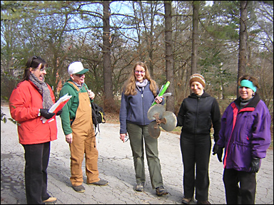
The Town Branch of the West Fork of the White River drains much of the south and southwest portions of Fayetteville, Arkansas. The Aspen Ridge development consists of 28 acres between 6th and 11th streets and east of the Arkansas & Missouri Railroad and west of S. Hill Avenue. An arm of the Town Branch that flows through the development site drains the University of Arkansas campus and has come to be known as College Branch on recent Fayetteville city maps. On some paper work related to the Aspen Ridge project it may be called the Town Creek or the Town Branch or the College Branch. On early quadrangle maps from the US Geological Survey, it was identified as Town Branch, but is herein called College Branch for simplicity's sake. Date of Site Visit: January 17, 2005 Present: David Blackford — 404 Permit Consultant Joined by: Route Taken: Started at southeast corner of Phase II and walked upstream on the west side of the riparian corridor. Crossed over southern railroad spur berm, into the flood plain, over northern railroad spur berm. Made a u-turn and proceeded downstream on the east side of the College Branch. General Talking Points: 2. The phase II crop of cedar trees would be better off replanted along the currently used railroad berm to provide an organic, low-maintenance sound buffer for town house owners. 3. Trees within the proposed wetland fill area were generally agreed to be in an unhealthy state and degraded by force influences of grapevine, solider vine, honeysuckle and other viny matter. Particular Trees of Interest: By preserving the following specimen trees, the developers could realize a significant gain in property value. It is well-documented that homes with mature trees sell faster than those without. Ecological economic models for working around these trees are available in many forms and Audubon staff members are happy to provide supplementary economic statistics to that end. 1. Shagbark Hickory at Building 5: This tree is estimated to be more than 100 years old; and, as such, represents a community asset. 2. Walnut Tree at the southernmost Building adjacent to S. Hill Avenue: With one limb extending more than 50 feet north from its trunk, this massive specimen also is estimated to be more than 100 years old. 3. Black cherry grove on southern railroad berm: These trees are very thirsty and will go a long way toward soaking up storm water and ground water flows. Even with the proposed fill at that location, Ms. Erwin recommended that u-shaped retaining walls be built around this grove so Riparian Restoration: This stream vegetation zone has been adopted by the honors plant biology class at the University of Arkansas. In addition to their conclusions, The Audubon staff will work with the Aspen Ridge staff to complete a riparian planting list for herbaceous, shrub and tree species. Immediate priorities for the riparian area to ensure legitimate conservation values: 1. Conservation easement to be completed with Corps of Engineers. Long-term priorities for riparian corridor conservation: 1. Educate property owners association individually with each townhouse |
||||
[Click here to email Aubrey]
Aubrey
James Shepherd
Fayetteville, AR © 2003, 2004, 2005
Site design by Lauren Hawkins' LDHdesign