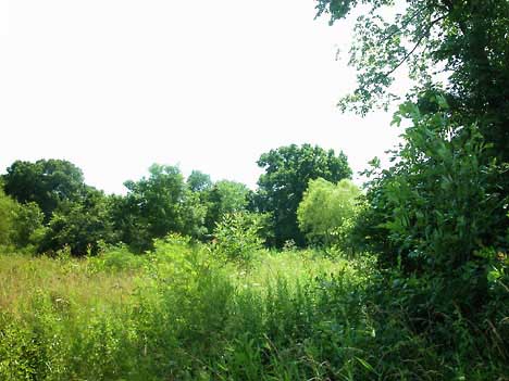
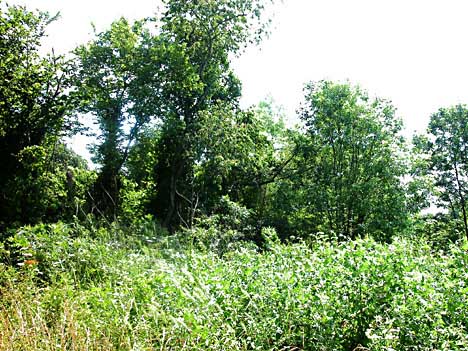
View
from west
Many
types of vegetation typically found on wetland prairies flourish on this
2 acres. The Corps of Engineers' nationwide permit to dredge and fill
this land requires the developer to collect a layer of hydric topsoil
and use it in the so-called mitigation area. Almost no water leaves the
land when the area receives rain now and the development is supposed to
maintain that situation to prevent downstream flooding on Town Branch
from increasing.
The permit, however, seems to appear to allow the project to violate the
no-net-loss-of-wetland policy by requiring 0.15 acres to mitigate the
loss of 0.20 acres on the site.
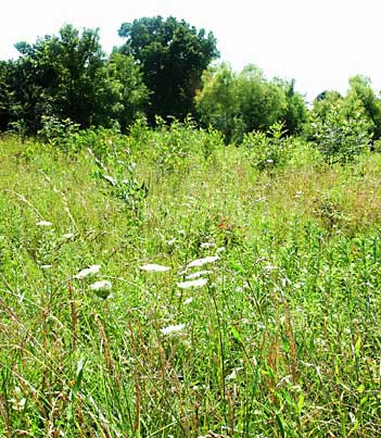
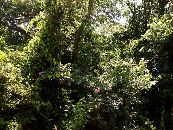
Native plants are plentiful
Many people have commented on the diverse plant life on the acreage, including wild flowers all over and large trees on the periphery and smaller, typical water-tolerant trees in the drainage that runs from north to south in the center of the parcel. The diverse vegetation, especially the understory vegetation in the central drainage, provides excellent spring and early summer nesting sites for numerous species of song birds. In fall, winter and spring, many migrating species visit the area because of the wide variety of seeds that remain on the land all year long.
Mourning doves congregate during migration and nesting periods and are abundant all year long. The area is particularly important as a nesting, roosting and feeding area for species that people in the neighborhood whose yards are cleanly mowed and trimmed are able to attract to feeders.
If the conditions of the corps permit are fulfilled by the developer, the seed base in a portion of the hydric soil will be protected and allowed to grow in the mitigation areas.
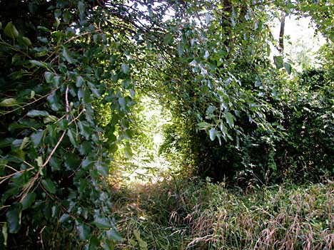
A brushy strip along the south boundary of the south acre and another along the east boundary of the north acre are slated for special protection by agreement between the owners of adjacent land and the developer. A proposed narrow conservation easement will be protected from people and domestic animals between the developer's wooden fence and the wire fence of the homeowner to the east.
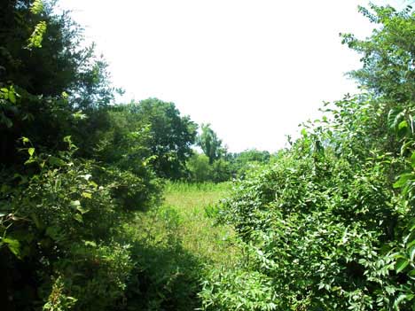
View from north
Although the federally designated wetland was delineated as less than one-fourth of the 2.46 acres, saturated soil, wetland vegetation and Ozark burrowing crayfish are found widely over the area and on all surrounding parcels of land. A federal permit has been granted to build on the west 2 acres but would not have been required to rebuild on the part near S. Duncan Avenue. The farmers who first owned the 2-acre prairie discovered it was too wet to plow; and, according to men who worked on the adjacent dairy farm in the 1940s and 1950s, it was not used as pasture and was never even mowed for hay.
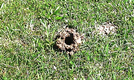
Ozark
burrowing crayfish
are common in this wetland area. They are
also identified as Osage burrowing crayfish or officially as procambarus
liberorum.
This June photo was made on mowed ground just off the development site. The mud to the right of the broken chimney shows what happens when such wetland is mowed. When heavy rain fills the underground water courses, mother crayfish may sometimes be seen carrying their numerous eggs or hatchlings on their bodies when they move about on the surface.
Savanna in summer, prairie in winter.
Small
trees and understory vegetation survived the brushogging in the recent
past
The
wet soil for decades discouraged farmers from plowing and allowed some
fairly large willows and other water-loving trees to survive in the center
of the acreage.
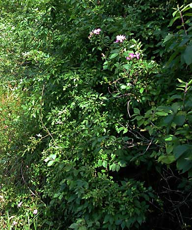
Typical native species of wild roses climb the trees and brush in the central, especially marshy portion.
A hairy wild petunia is at the bottom left of the photo at right.
Some relatively rare species have been spotted on the land by a member of the Arkansas Native Plant Society.
In many ways, this small parcel of only partly altered wetland prairie may be seen as much like parts of the Wilson Spring area on the northwest side of Fayetteville. This is part of the White River watershed while Wilson Spring is on the Illinois River watershed.
who live in the mobile-home park north of the 2 acres to be developed can peek into the previously undeveloped prairie area while walking to the school bus. The mobile-home area is the higher, flatter portion of the same wetland prairie paralleling the west side of the Town Branch of the West Fork of the White River. It was part of a dairy farm in the first half of the 20th century but now is shaded by many large oak trees. Standing water and crayfish holes abound between the trees and trailers. Mobile-home parks are friendlier to the environment than apartment complexes with their paved parking and small mowed strips of green space with few mature trees.
Aubrey
James Shepherd
Fayetteville, AR© 2003
Site by Lauren Hawkins' LDHdesign